Heavy Rain and Thunderstorms Expected in Tamil Nadu: Chennai Sees Significant Downpours This Week!
Unseasonal Rains in Tamil Nadu: Impact and Forecast
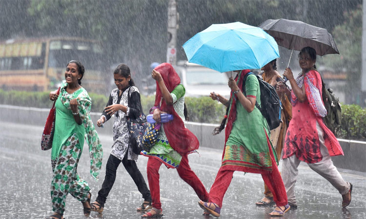
Chennai, Tamil Nadu – As the monsoon season approaches, the state is currently experiencing an unexpected twist in weather patterns. The Indian Meteorological Department (IMD) has reported that the southwest Bay of Bengal and adjoining southeast Bay of Bengal are under the influence of an upper-level cyclonic circulation. This phenomenon has resulted in significant rainfall across various regions, particularly affecting Chennai and its suburban areas.
Current Weather Conditions
According to weather reports, areas including Puducherry and Karaikal are experiencing moderate rain accompanied by thunderstorms. The IMD has indicated that these conditions are expected to persist over the next two days, with winds reaching speeds of up to 50 km/h. As a result, residents are advised to remain cautious while traveling or engaging in outdoor activities.
Chennai has recorded widespread rainfall throughout the day, with notable precipitation in several localities:
- Central Chennai: Rainfall has been reported in areas like Central Chennai, Ezhumbur, Nungambakkam, and Mambalam.
- Suburban Regions: Localities such as Kodambakkam, Velachery, Koyambedu, Virugambakkam, Maduravoyal, K.K. Nagar, Palavakkam, and Tambaram have all seen varying intensities of rainfall.
- Other Affected Areas: Additional locations such as Puzhal, Aavadi, and Porur are also being graced by the much-needed rain, contributing to a cooler climate in the region.
Forecast for the Coming Days
In light of these developments, private meteorologist Pradeep John has made some predictions for the coming hours and days. He states:
- Rain in Chennai will continue for the next two hours.
- There is a strong possibility of heavy rainfall across Northern Tamil Nadu.
- Cloud formations are moving eastwards and could lead to further precipitation in the city.
- The sun’s intensity will likely decrease in the coming days, and there is a chance of monsoon onset before the 25th of this month.
Rainfall Records
The recent downpour has shown varying rainfall amounts across the state:
| Location | Rainfall (cm) |
|---|---|
| Namakkal | 11.8 |
| Thanjavur (Thiruvaiyaru) | 11.7 |
| Kallakurichi (Thiyaga Thurogam) | 11.6 |
| Kallakurichi (Kalayanallur) | 12.8 |
| Namakkal (Rasipuram) | 12.0 |
| Kallakurichi (Rishi Vanthiyam) | 14.0 |
These numbers are indicative of the rainfall intensity across Tamil Nadu, which should relieve some of the agricultural concerns met by farmers during this transitional season.
Reasons Behind the Weather Phenomenon
The cyclonic circulation in the Bay of Bengal plays a crucial role in shaping the weather patterns in Tamil Nadu. Several factors contribute to this anomalous weather:
- Upper-Level Circulation: The cyclonic activity can lead to the formation of rain-bearing clouds, which, combined with wind patterns, creates the conditions for rainfall.
- Geographical Features: Tamil Nadu’s topography and proximity to the ocean can amplify weather changes, causing localized rainfall events in typically dry areas.
- Seasonal Changes: As the state transitions from peak summer towards monsoon, unseasonable rain can manifest, disrupting conventional weather expectations.
Conclusion
As Tamil Nadu braces itself for these unexpected rains, residents are encouraged to stay informed and prepared. The recent weather conditions serve as a reminder of the dynamic nature of weather patterns and their direct impact on daily life. With forecasts leaning towards more rain in the upcoming days, it is an opportune moment to discuss larger implications such as agricultural practice adjustments and infrastructure readiness for potential waterlogging.
In summary, while unseasonal, these rains might bring relief to parched lands and are vital for replenishing groundwater reserves, equipping the state for the forthcoming monsoon. Stay tuned for updates as we monitor how these weather patterns continue to evolve in the region.